Geospatial ML2024Shipped
Glacier U-Net
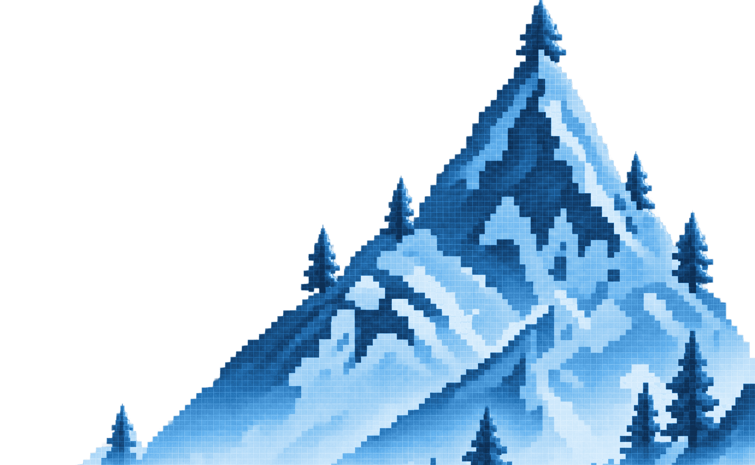
Glacier boundaries segmented from 5-band Sentinel-2 imagery.
A U-Net for binary semantic segmentation of glacier boundaries on 5-band Sentinel-2 imagery, with a custom geospatial loader that tiles multispectral GeoTIFFs and normalizes each band against training-set statistics.
livelast push
~/glacier
Project Telemetry
Dice
0.87
IoU
0.78
Training patches
1,200
Spectral bands
5
How it works
~/glacier/architecture · step 1/2
01
5-band GeoTIFFs
02
tiling + band norm
03
U-Net
04
mask stitching
05
Dice / IoU on held-out regions
01Reported Dice and IoU on spatially disjoint held-out regions. Pixel accuracy is uninformative at ≈12% glacier pixels.
02Compared BCE, Dice and combined weighted losses, and analysed operating points via ROC.
Project Info
DomainMachine Learning
RoleAuthor
Year2024
StatusShipped
Tech Stack
PythonPyTorchU-NetSentinel-2GeoTIFF